Island Mountain Summit
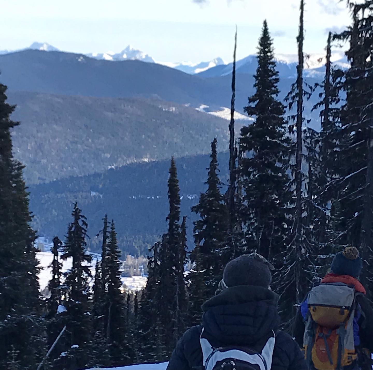
As of today, Jan 10th, 2021 there are two routes to the summit of Island Mountain. From here you can see Wells and on a clear day, see Mt. Longworth on the other side of the Fraser at Longworth, Mt Cochrane, north of the Bowron, Mt. Kaza and the Hanging Valley Icefields above Lanezi Lake and all the way down to the Mtn’s above Quesnel Lake. As well there are short views to Two Sisters, Slide, Murray, Patchett, Burdett Tinsdale and more. More importantly, you can view it all while looking down on the hamlet of Wells, at your feet and really feel what a pretty little mountain town it is.
The normal route takes off from Town. Google Earth shows old mine roads that lead right to the summit. One takes off from near the town’s water tower, that’s the place to start. There are other roads that can get you higher on the mountain but they are currently closed to anyone except drill traffic for Osisko Mines. The old road network, besides climbing in a number of places from town, also is maintained by Osisko to the old Mosquito Creek mine, but it is not for public consumption. This is normally a better trip in the late season, especially in 2020/21 due to the lack of snowpack in January. There are some willows that would benefit from being crushed by the snow to come!
I will post some pictures and kmz files here in the future, but if you need more help, let me know. You can check out current pics at our facebook page: facebook.com/Whitegold Adventures Give it a ‘Like’, and you can stay up-to-date with our trips, or on Instagram at Whitegold Adventures
EASY OPTION: The temporary easy route however, is to drive up via some currently plowed logging road(January of 2021. Coulter Creek Logging road departs from the ‘old hwy’s pit’ on the north side of the road to Wells. It is 1 km west of the ‘new hwy’s yard’, or 5 km west of the Wells Visitor Center. This 7 km of road climbs to a fork at 2 km. Take the sharp right uphill and continue through some stunning logging blocks with really great views of Devil’s Canyon, Slough Creek, Burns Mountain and Elk Mountain. Eventually, at km 7 you run out of road in a freshly cut block. You’ll be stopping again anyway for the amazing views. Stumble across the frozen clumps for 100 feet further climbing ever so slightly and enter the subalpine forest. Almost immediately, as you travel north, you will stumble onto the top of the road network that slinks back down to Wells. Enjoy the forest, the pillowy abandoned mine roads and make sure you don’t get sucked too far down Red Gulch or go farther down the mountain than you want to have to climb back up.
The logging access road climbs steadily. It is well kept by the current harvesters. You need all-wheel drive and although it’s smooth, it does do a lot of climbing for you, so be cautious in slippery or snowy or muddy weather. There are no log decks on this side of the mountain(on Jan 11) so you don’t need to worry about logging trucks after Km 2 but watch for equipment operators using pickups on weekdays. This road is currently on RR 11 and its good practice to have a road radio and call out, particularly on weekdays. Also, when the loggers are finished with the rest of Coulter, expect this access to fill with snow over time, limiting access sooner rather than later. When it closes in again. It’s back to the front side and you can earn your turns by walking up the neglected mine road network above Wells.
Have a great trip! Dave