Wendle Bonner Tour
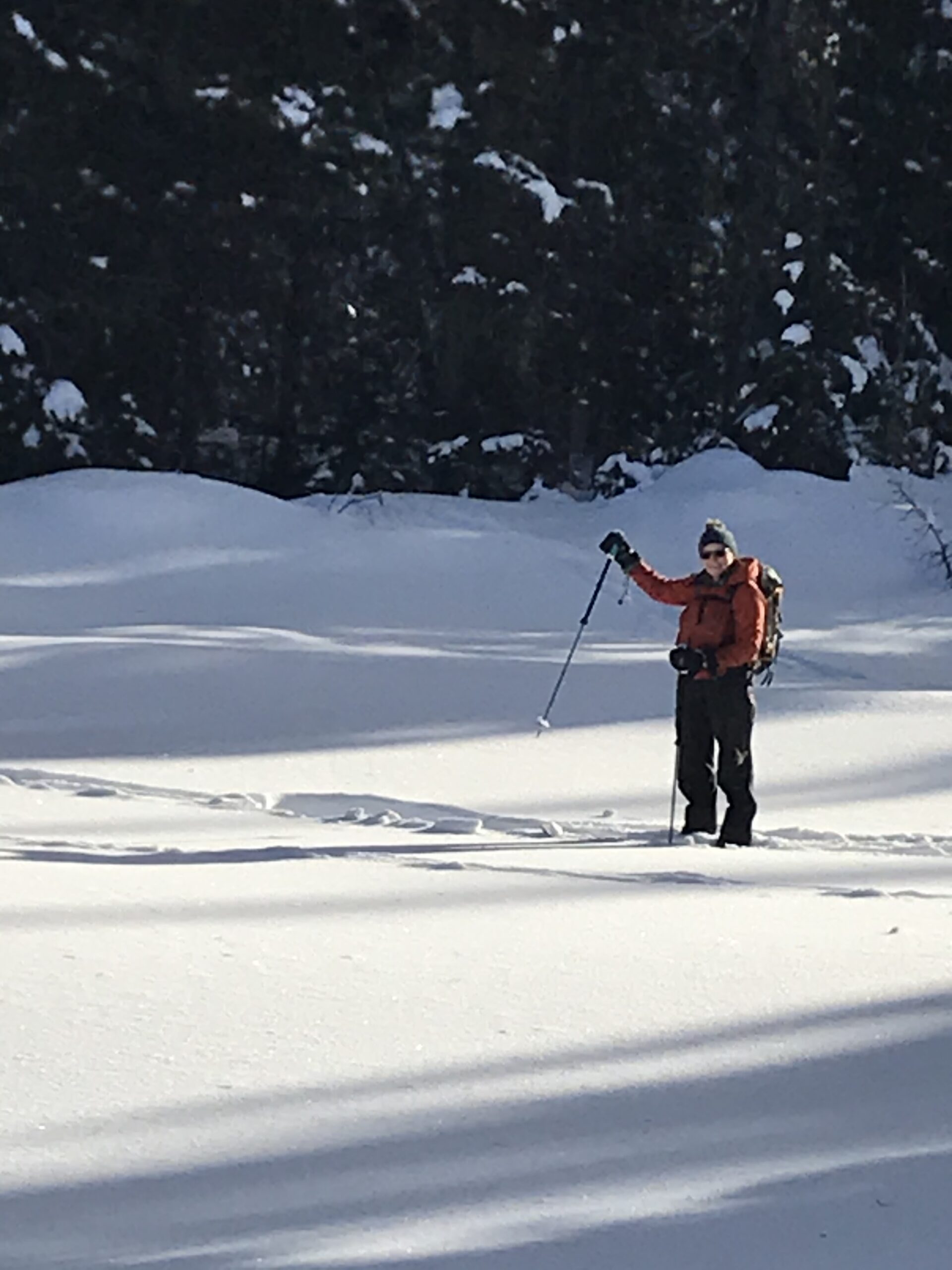
Wendle and Bonner Lakes make a very interesting ski and snowshoe destination.
Beside the normal road access from the crest of the Bowron lake road beyond the Yellowhawk trailhead there are some other really beautiful options.
From the Yellowhawk Trailhead. Plenty of parking here, and cross the road and angle onto the meadow. Stick kind of close to the road to avoid creek meanderings, and beaver ponds. Eventually you have to walk around the beginning of a forest that meets the road. Just in the edge of that forest is the original road to Bowron Lake. It is an open, level path that curves around the north edge of this mound and eventually meets the Wendle lake road at the dip.
Soon, you can climb onto the Wendle road and use it to climb the next bank to where the road curves inland, climbs and falls to the Wendle parking lot.(outhouse available).
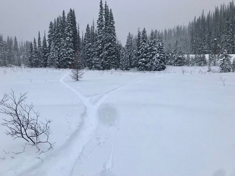
Instead of taking the road, drop off it, just around the corner into what looks like a long thin empty pond. It is actually part of old mine workings that stored water for placer mining, possibly at the Starletta, or Deep Lead Mines closer to the Yellowhawk parking lot. These dry-ponds make a wonderful meander, and after almost retouching the road, you climb a small pinch that drains another dry pond level with the lake. Watch for moose that love to browse this area.
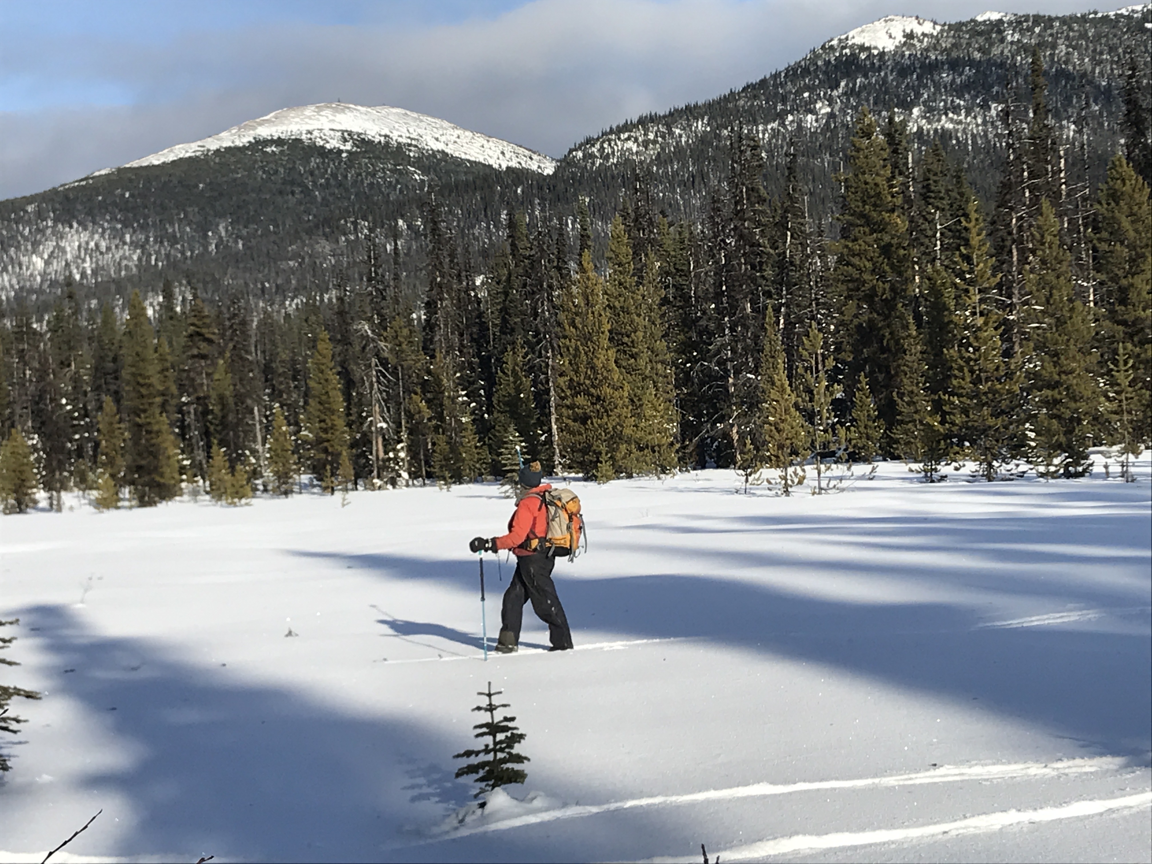
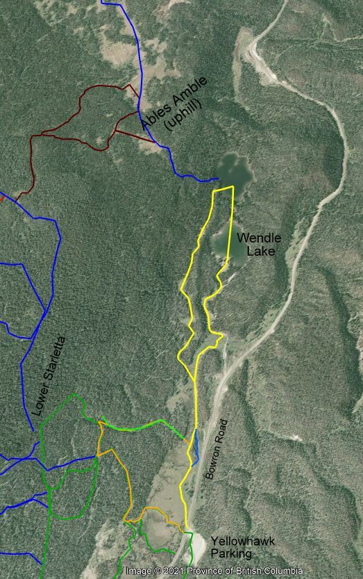
Cross Wendle lake to the exact opposite side and push through the open bush to Bonner just beyond. Bonner has a unique miniature island almost all the way across at the other side. From Wendle and Bonner the silence is awesome, and they have unique views of Slide, Mount Murray, and Greenberry.
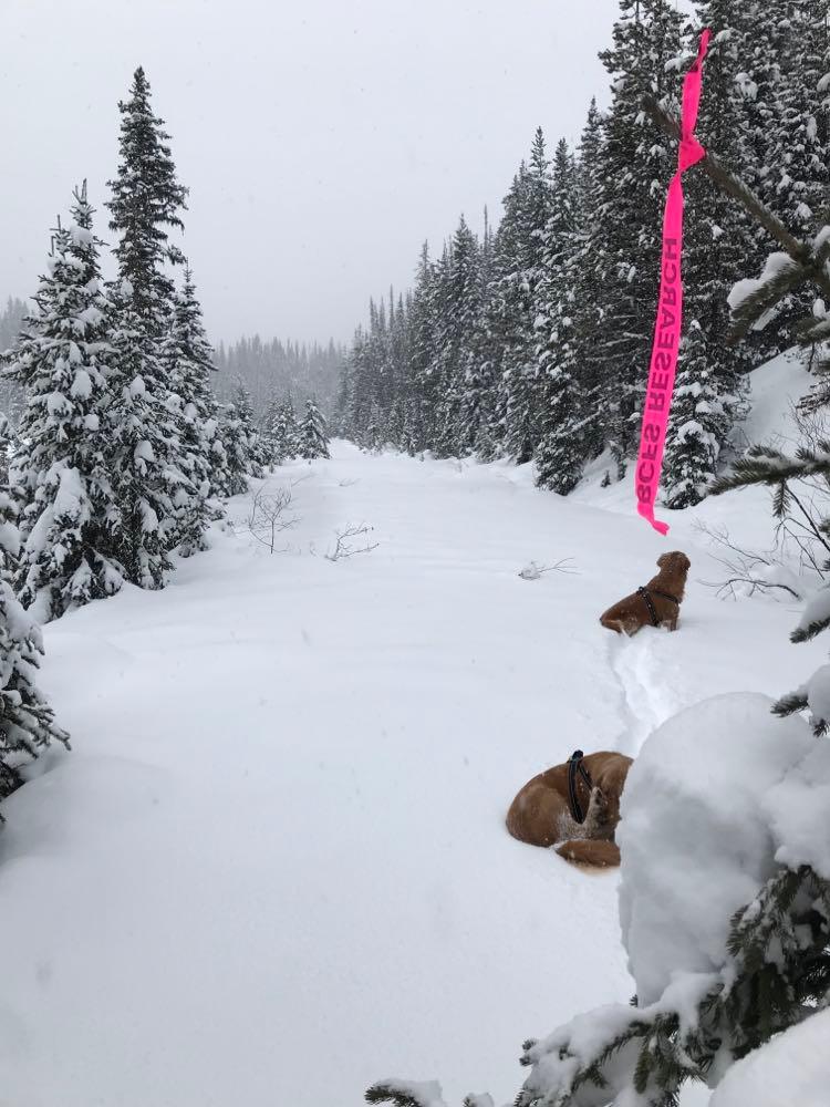
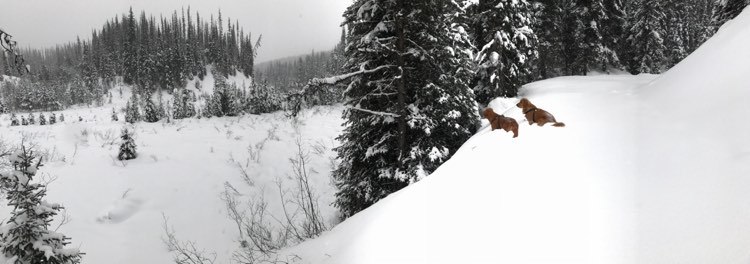
Return the same way, follow the road, or, if there’s lots of snow and you are experienced on your equipment, walk into the forest past the overhanging tree in the southwest corner of Bonner. You will enter a narrow passage between a steephill defending Wendle Lake and the main bulk of Valley Mountain. You may see the beginning of a climbing trail called Able’s Amble. This trail rises steeply up to some meadows on the shoulder of Island Mountain and crosses back through flat meadows and cutblocks to the Downey Pass road to Wells. For experienced fit travellers with appropriate spare equipment, this is a great ski tour but not a recommended snowshoe tour.
Instead, keep heading south along the gulley. It is occasionally awkward as you push through a pinch point but it follows roughly along a series of small clearings, and you can feel yourself heading back toward your car. If you don’t pop back onto your track at the beginning of the drypond system, you will eventually ease back onto the meadow. Depending on the temperature and time of year you may do a bit of searching to find a way across the creek and back to your original track. Only attempt this route if you’re feeling hale and hearty, as it can get challenging in the occasional tight section or deep unsupporting snow.
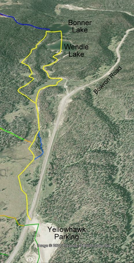
In all, this is just a 5.5 km tour but the stops make it an excellent trip, and the changes of scenery from marsh to ponds, to lakes, all with interesting views and history make it a wonderful day. Below is a photo of the route in context with other routes that attach to it.
Click this link to download a kmz file to load on your Gaia app, to help you navigate if you want to see where you are in the field, or open it on Google earth and switch to winter view!
Total Trip, 5 km with 3 km addons that take you to views from the Starletta trails. Start. Yellowhawk trailhead. 3 km from Hwy 26 on the Bowron Lake Road. (Turnoff 1 km before Barkerville.)