Lower Yellowhawk Loop Trail
Lower Yellowhawk creeks:
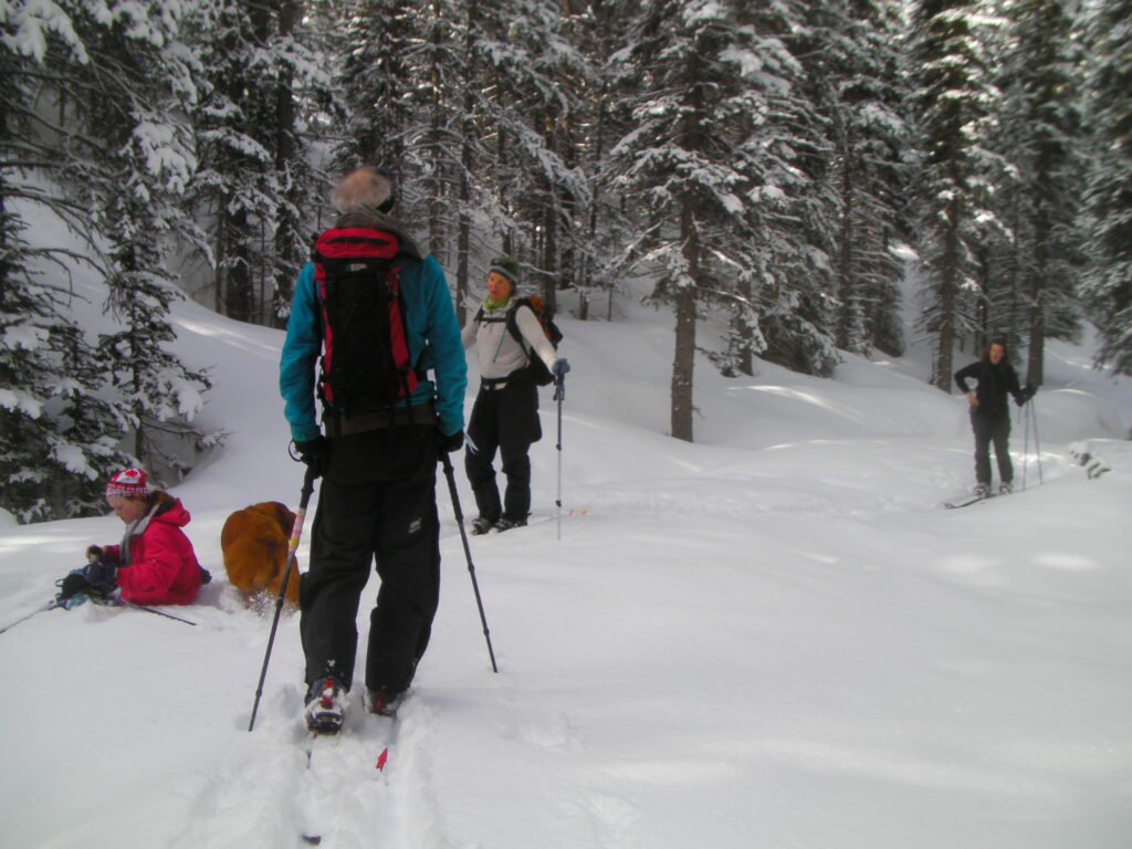
This is a beautiful forested loop trail that visits a few monuments to the early years of the Cariboo Ski tour club.
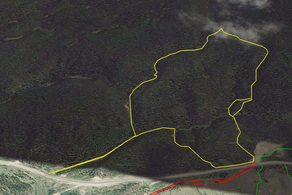
I recommend travelling this route clockwise, but I’m going to describe it counterclockwise, because it’s easier to imagine for people who have hiked or skied up Murray.
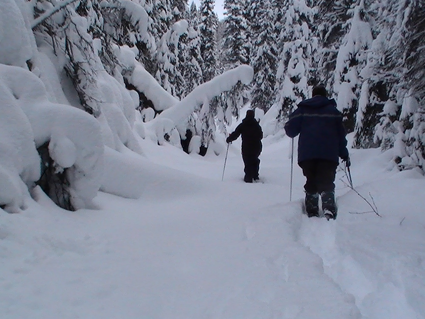
If you climb the hump from the parking lot and drop into the first little valley, the summer hiking trail goes straight ahead, slightly left, but the winter trail turns sharp right and heads over to ascend a creekbed. As your first alternative, you can follow the summer trail instead. It turns up a smaller creek and proceeds for a short while before angling uphill to cross a hump and drop down at the ‘bridge’ that crosses Yellowhawk creek farther up. Instead of angling steeply up left, as you do in the summer you can angle at a shallow pitch right and follow the draw uphill and right where you will bump into the winter trail just before a haywire little log bridge spot that always makes the downhill ski trip interesting. This is a great alternative for descending skiers who have found the trail skied out and wish they had a bit of fresh powder instead of packed groove for their last wobbly-legged drop to the bottom. You can see bits of sawn trees and limbs on this route that indicate it was once the ski trail.
Now that you’re on the ski trail itself, it climbs till it tops out at ‘The Ponds’ where it usually works itself along a relatively flat section before turning uphill again, joining the summer trail temporarily and crossing a wooden bridge. (Those ponds in the middle of nowhere are actually part of the old Deep Lead mine water reservoir system.)
Don’t cross the bridge however, but instead turn sharp left and begin the descent down the next creek bed, back to the Bowron road. This route is unused, so expect to find it passable but with deadfall that will add some scenery and challenge to your hike. Eventually this route spills out into a cross valley. If you followed it to your right, you would exit onto the Bowron Road at Wendle Lake, and walk by the old ski club outhouse that can still be seen from the Bowron Road as you drive by this spot. But if you turn left you walk gently uphill and then turn into another cross-meadow that brings you onto the Bowron Road just 100 m north of where you parked your car, and you have cleverly avoided hiking over that big knoll that starts a ‘Murray trip’.
Now that you know how to do it, consider doing the whole thing in reverse, instead. It will help keep you oriented, and you’ll have a well used path(the winter ski trail to follow out). When it’s your first time, it’s sometimes best to have your navigational struggle at the beginning. On the other hand, if the snow is deep, you’ll like walking uphill on the packed trail and it’s funner bounding downhill in the deeper snow of the normally unused creekbed. Having said that, it’s hard to get lost walking in the bottom of a ravine, and downhill always brings you home!
After a fresh snowfall, this is a very pretty route and completely protected from the elements on a stormy day. It also gives you a new perspective on the topography of the mountainside, and gets you on a walk/ski that doesn’t have to bag a summit to get a great result.
Downloadable kml file for some apps and google earth: Yellowhawk Snowshoe Loop